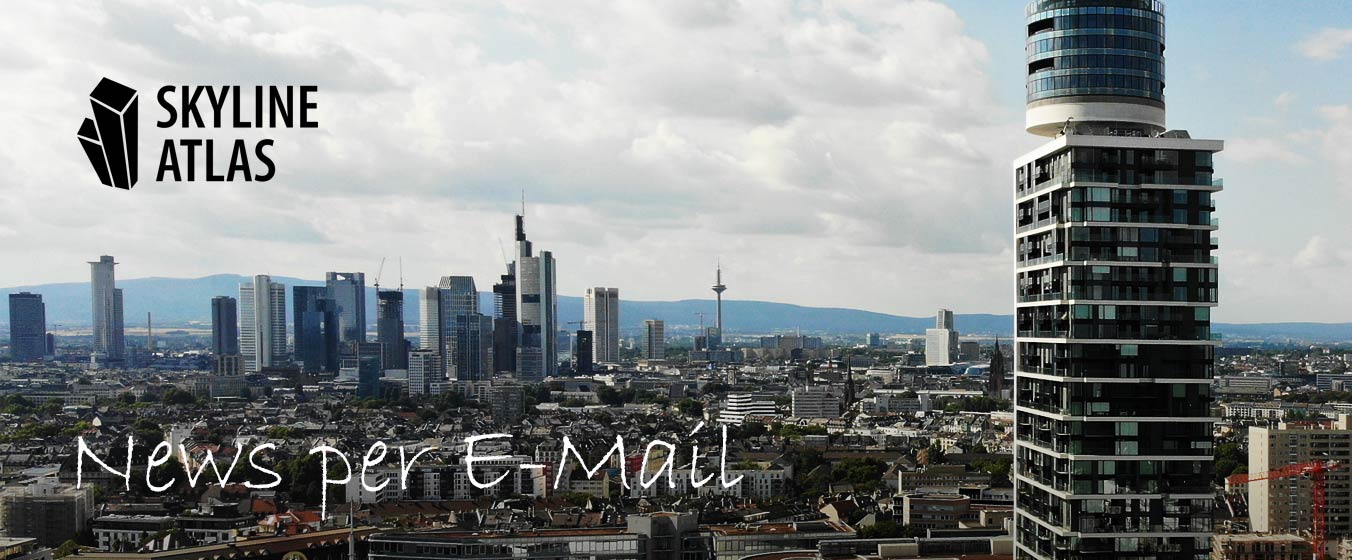
Master Plans

A master plan is an informal planning tool used to explore the development potential of a city or district and to outline a broad vision for its future use. It is not legally binding and follows a standardized planning process. Positioned between regional land-use strategies and local development planning, it typically functions as an intermediary

Organization Team

SKYLINE ATLAS is the community for Frankfurt and its skyline. SKYLINE ATLAS provides the public a permanent central location to discover content about its urban developments. We're doing this to bring people together for shaping a better city region. Numerous authors and creative minds produce the SKYLINE ATLAS. For decades the editorial staff has cultivated

Prof. Dr. Stefan Pützenbacher

Prof. Dr. Stefan Pützenbacher, Expert in Planning LawThe Frankfurt high-rise master plan, often also referred to as the skyscraper master plan, is a so-called urban development model within the meaning of Section 1 (6) No. 11 BauGB in Germany. As a planning guideline, it specifies the general objectives of urban land use planning. The high-rise

Why did Frankfurt have abusive names?

The city of Frankfurt has been an important trading and financial center since the Middle Ages. Before the Second World War there were more than 1,250 half-timbered houses in the historic Old Town, which made Frankfurt one of the most important medieval half-timbered towns. Both Old Town and New Town were considered a gem of

What is a high-rise plan?

Large cities use so-called development plans for better urban planning. Generally speaking, a development plan is an informal planning instrument in Germany to sound out development potentials in a city or in a district and to outline the prospects for its future use. It is not legally binding and is not subject to any standardized

About SKYLINE ATLAS

SKYLINE ATLAS is the real-estate portal for Frankfurt and its skyline. SKYLINE ATLAS provides the public a permanent central location to discover content about its urban developments. We're doing this to bring people together for shaping a better city region. Numerous authors, creative minds, and the organization team produce the SKYLINE ATLAS. For decades the

Frankfurt Development Areas

As a rule, major construction projects, such as high-rise buildings, are being built in these locations in Frankfurt or are planned for the following development areas. These real estate locations are officially not a city district of Frankfurt or belong administratively to a directly adjacent suburb.The Financial District has the greatest concentration of very tall

Fingerplan 1968

The Fingerplan from 1967/1968 (also referred to five finger plan), created in the aegis of the planning department head Hans Kampffmeyer, was a city planning scheme, starting from the Anlagenring, in which intensive building was permitted along several strips. The Fingerplan had far-reaching consequences for the development of high-rise buildings, particularly in the Westend district.