Dubai Masterplan 1971

In 1971, following the formation of the United Arab Emirates, Dubai took its first steps toward transformation with the introduction of its Masterplan 1971. This was a pivotal moment in the city's history, as it marked the beginning of a bold vision to turn a small trading port into a global economic powerhouse. The plan

Dubai Masterplan 1960

In 1960, Dubai took its first major step toward becoming the global city it is today with the introduction of its Masterplan 1960. At that time, Dubai was still a small trading port, primarily focused on fishing, pearling, and serving as a key trade route between Europe and Asia. This early plan laid the groundwork

Sheikh Mohammed Bin Zayed Road (E311)

Sheikh Mohammed Bin Zayed Road, also known as MBZ Road or simply E311, is one of the most important highways in Dubai and the wider United Arab Emirates. Stretching for around 140 kilometers, it runs parallel to Sheikh Zayed Road (E11) but is located further inland. The highway connects all seven emirates, linking Dubai to

Dubai Structural Plan 1985

Before the mid-1980s, Dubai was a modest trading port with limited infrastructure and a skyline dominated by low-rise buildings. Urban growth was largely unplanned, and the population was small, with the economy heavily dependent on oil exports. Land use was inefficient, and the city lacked a structured vision for expansion, which created challenges for sustainable

Sheikh Zayed Road

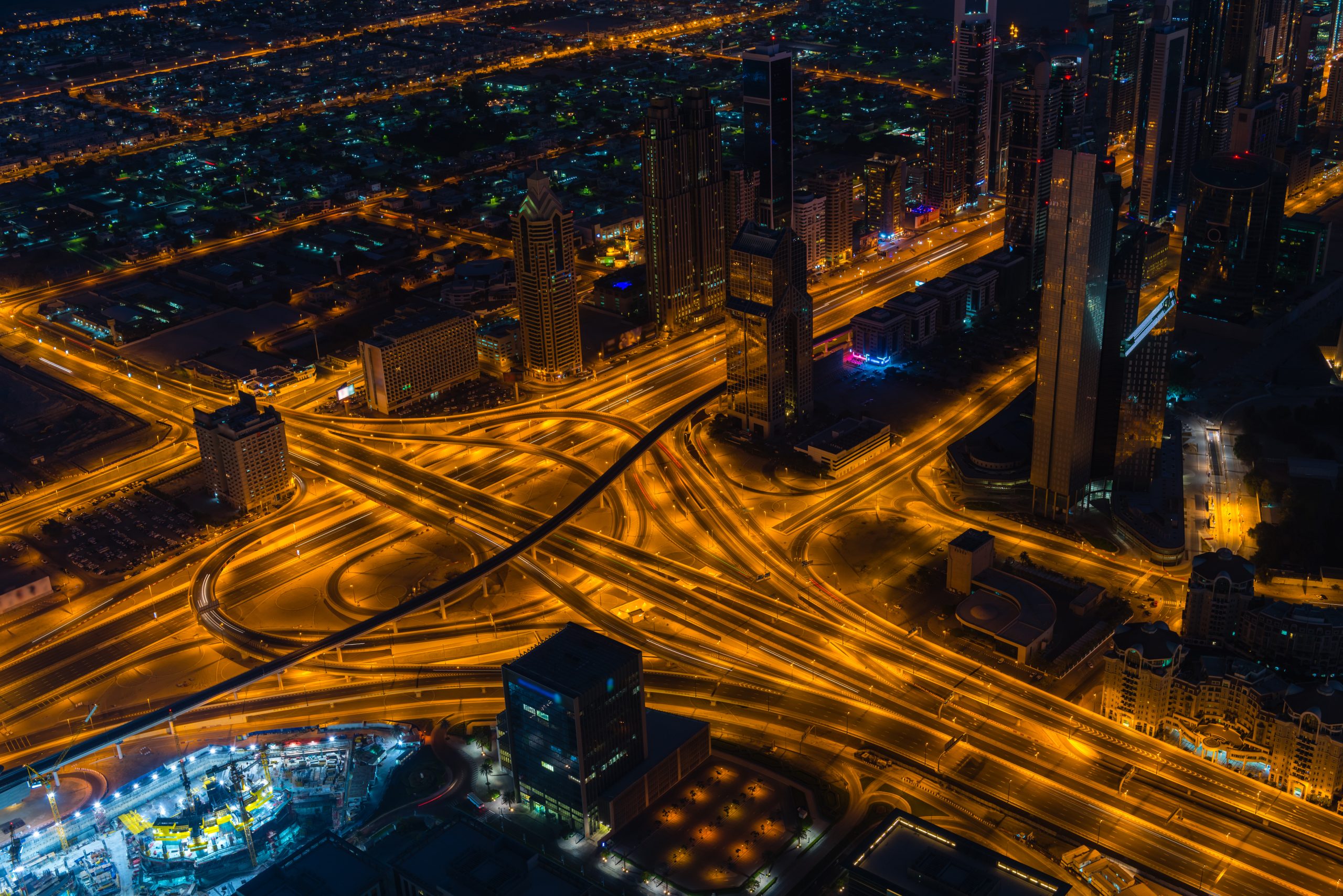
Sheikh Zayed Road Sheikh Zayed Road is the main highway that runs through Dubai. It forms part of the E11, the longest road in the United Arab Emirates. The section known as Sheikh Zayed Road extends for about 55 kilometers within Dubai, connecting the city from the Trade Centre roundabout near Dubai Creek all the